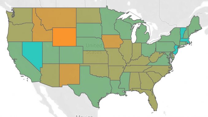
On Tuesday, a company called Unacast that collects and analyzes phone GPS location data launched a “Social Distancing Scoreboard” that grades, county by county, which residents are changing behavior at the urging of health officials. It uses the reduction in the total distance we travel as a rough index for whether we’re staying put at home.
Source: These maps use phone data to track social distancing – The Washington Post